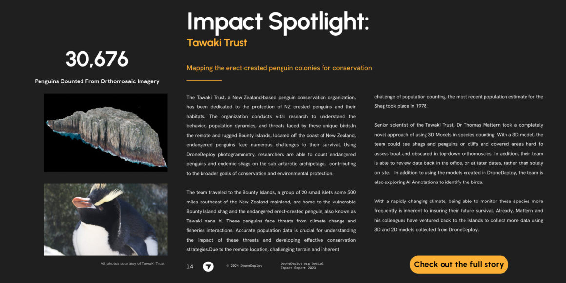
Drone Deploy spotlight
Our work in the subantarctic region relies heavily on the use of drones. But surveying penguin colonies with flying cameras is only a third of the job done. Another third is processing these data into massive aerial photos (aka “orthomosaics”) that allow us to count penguins.
And this is why our partnership with DroneDeploy is invaluable!
DD has hands-down the best flight control app on the market and their cloud photogrammetry service crunches through the thousands of images we record.
And now the DD team is implementing AI counting of penguins on their platform (which could cover the last third of the survey work in the future)! Incredible.


